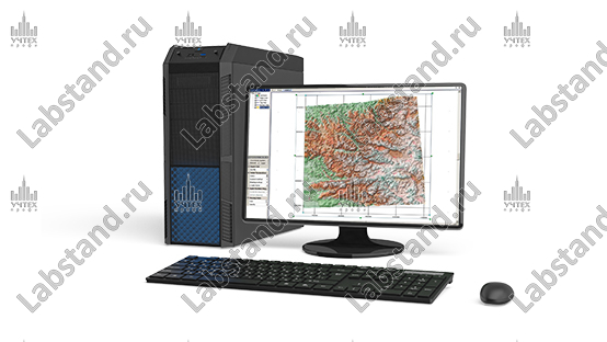
Description
A virtual software package that allows you to simulate various relief options, construct an orographic relief diagram based on elevation marks, study and determine the location of thalwegs and watersheds, and the shape of the slope. Contains a module for training and testing acquired knowledge.